
altimate-pilot-press-kit.zip
ZIP · 24.0 MB
All logos, app icon, and high-resolution screenshots in a single archive.
DownloadPress Kit · June 2026
About
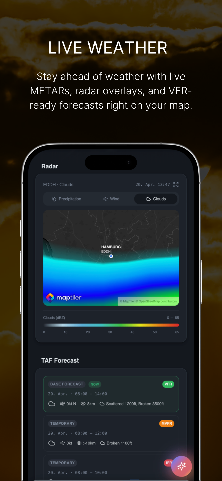
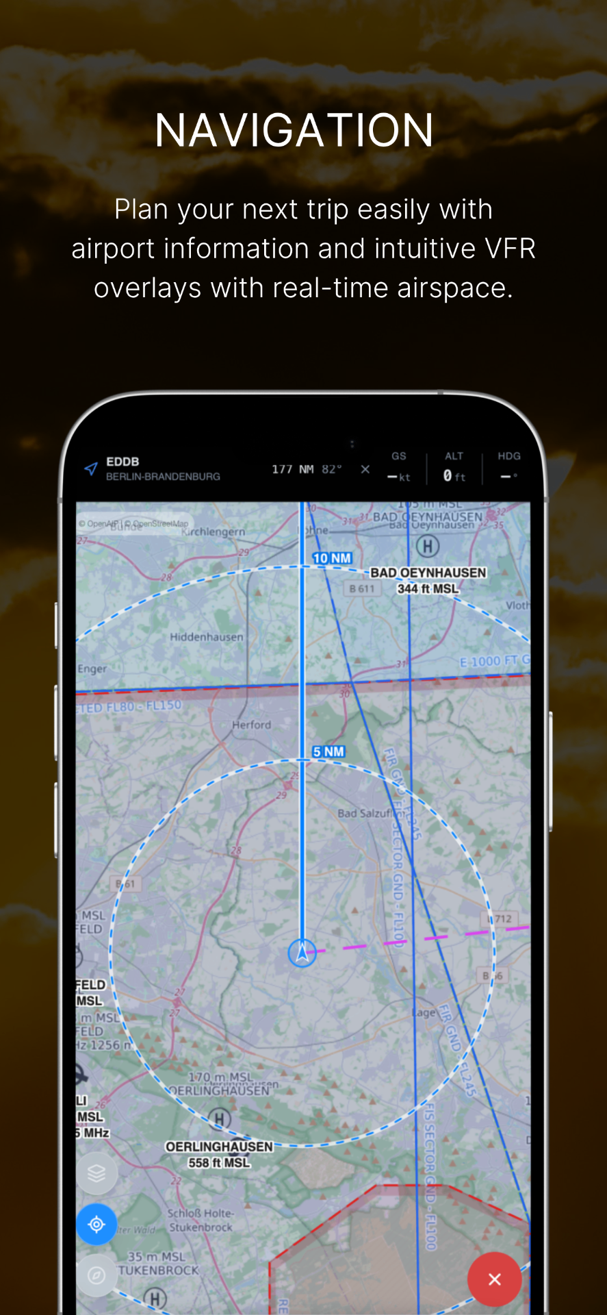
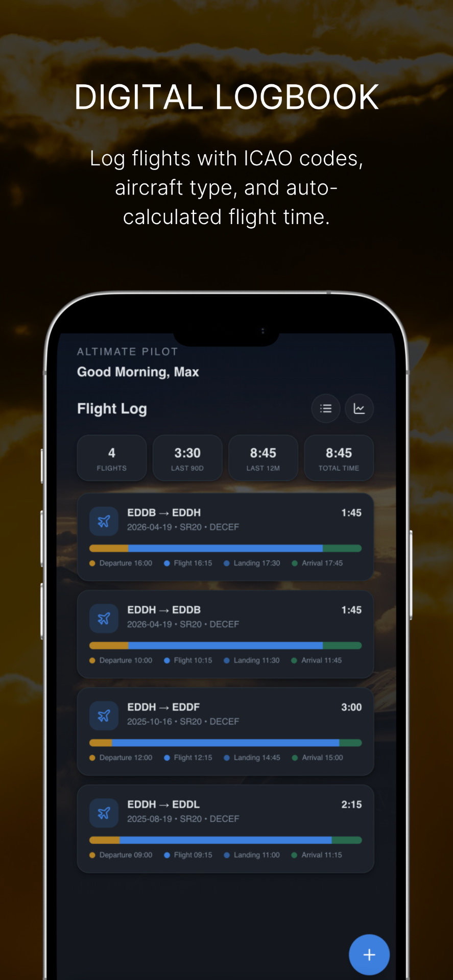
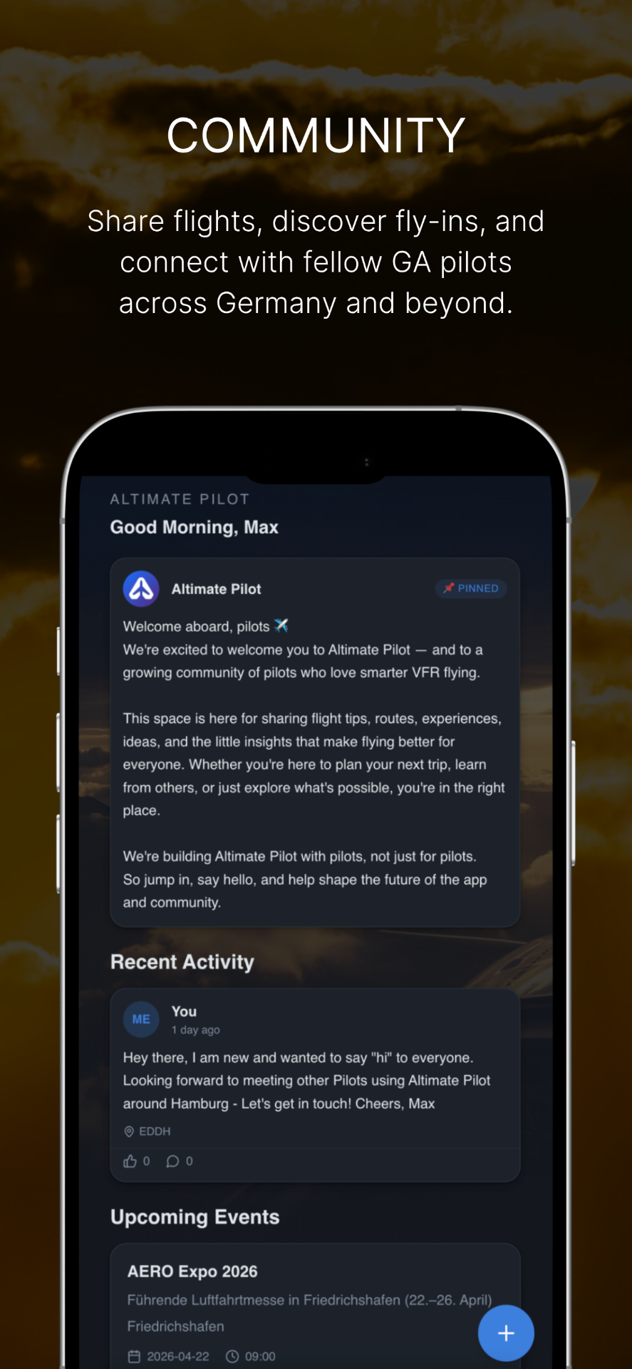
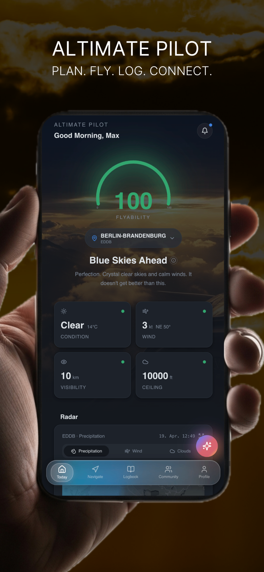
Altimate Pilot brings together everything a VFR pilot checks before, during and after a flight: a live Flyability score, METAR and TAF data, a radar map with precipitation, wind and cloud layers, moving navigation map, an EASA-aware digital logbook, and a community for fly-ins and flight stories.
The app is designed mainly for VFR pilots – privately owned, glanceable on a kneeboard, and focused.
No clutter, no ads, just what pilots need to make confident go / no-go decisions.
Weather and AI assessments are for reference only and must not be used as the sole basis for flight decisions.
Fact Sheet
Downloads
Free to use for editorial coverage of Altimate Pilot. Please don't recolor or modify the logo and app icon. Credit: Altimate Pilot.
Gallery
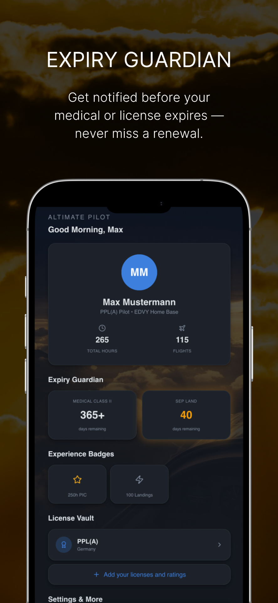
Click any screenshot to preview, or download the original PNG.
Contact
We're happy to answer questions, provide additional assets, arrange interviews or share embargoed material with verified outlets.